
 EN
EN
 ar
ar bg
bg hr
hr cs
cs da
da nl
nl fi
fi fr
fr de
de el
el hi
hi it
it ko
ko no
no pl
pl pt
pt ro
ro ru
ru es
es sv
sv tl
tl iw
iw id
id lv
lv lt
lt sr
sr sk
sk sl
sl uk
uk vi
vi et
et hu
hu th
th tr
tr fa
fa ms
ms hy
hy ka
ka ur
ur bn
bn mn
mn ta
ta kk
kk uz
uz ku
ku
hydrostatic level sensor
Kingmach hydrostatic level sensor include the JMDL-47XXAT smart single-point settlement gauge for buried positions where a defined vertical movement must be followed through construction. It is used for subgrade settlement, embankment heave, base uplift in deep foundation pits, tunnel bottom uplift, dyke compression deformation, and pile foundation settlement. Published range options are 100 mm, 200 mm, 300 mm, and 400 mm. Resolution is 0.01 mm on 100 mm and 200 mm models, and 0.1 mm on 300 mm and 400 mm models. Gauge lengths cover 760 mm, 1240 mm, 1720 mm, and 2210 mm. The assembly includes a settlement plate, electrical displacement sensor, measuring rod with metal flexible conduit, anchor head, extension rod, and bottom anchor head. Its side-exit cable design helps reduce interference during pavement compaction. The product is strongest when the installation depth, plate location, cable route, fill layer, and first stable reading are documented before the buried parts disappear under later work.
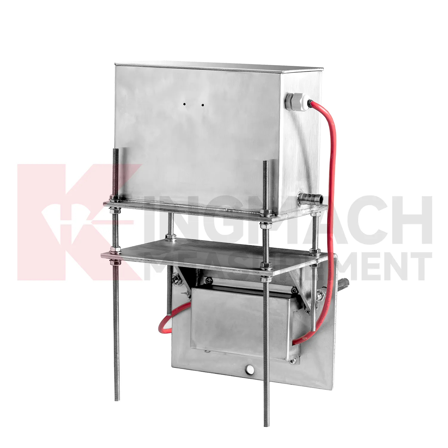
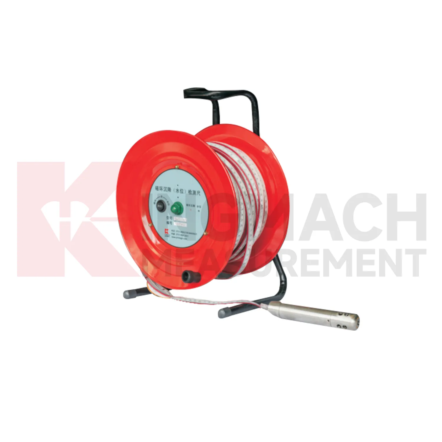
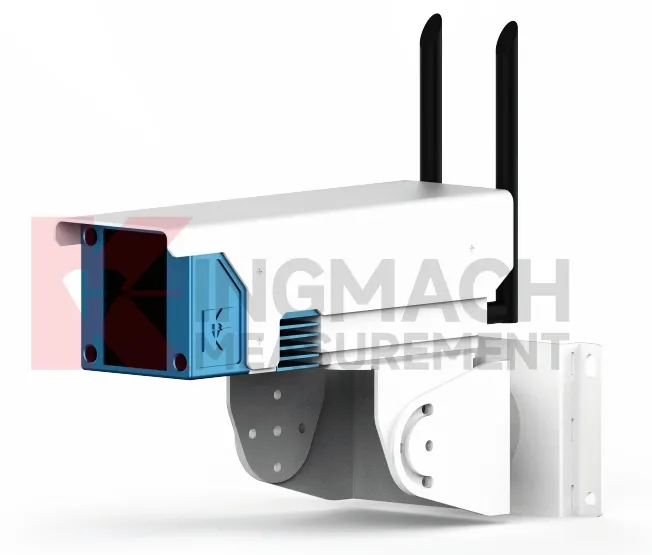
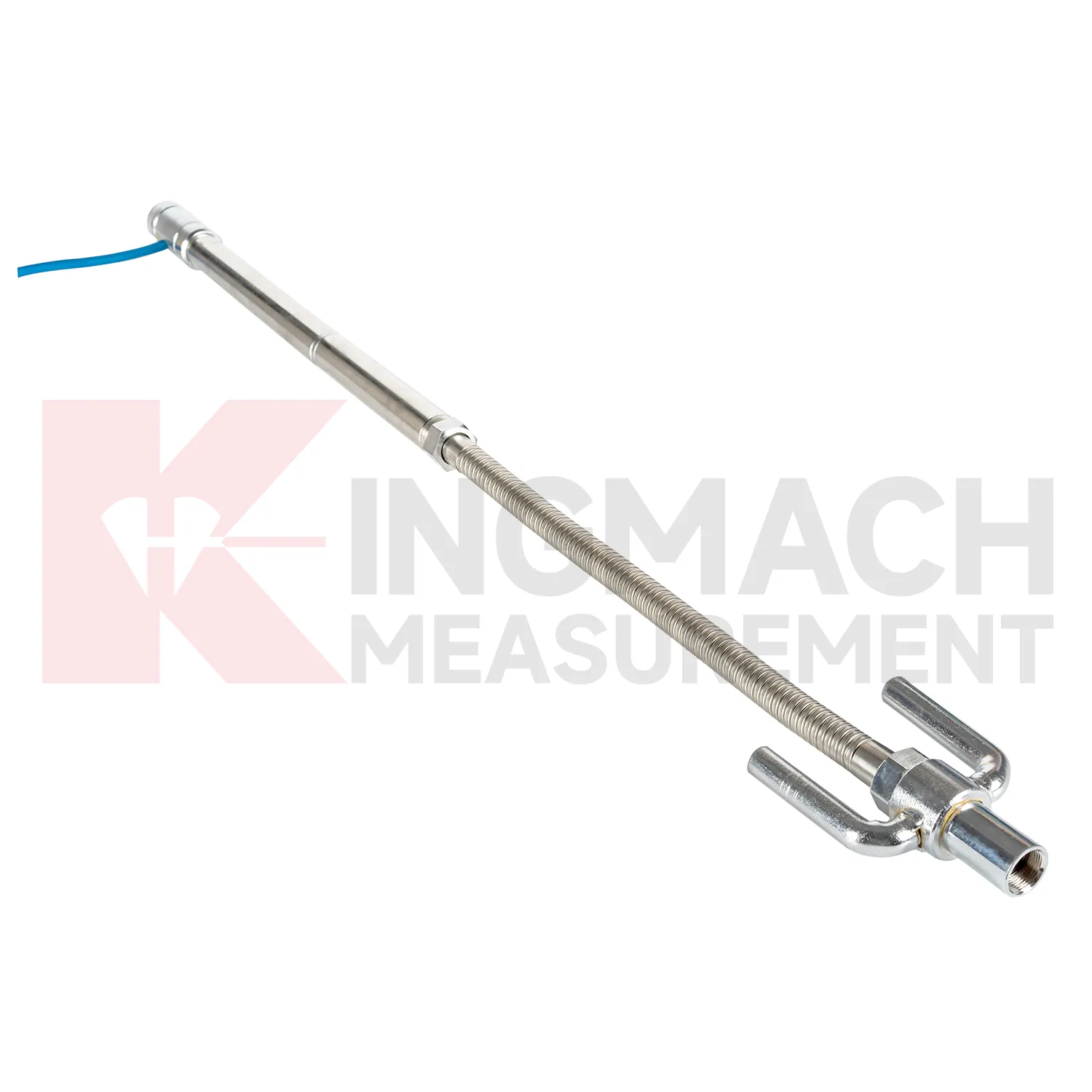
Application of hydrostatic level sensor
Building projects use hydrostatic level sensor when a foundation, basement, column line, retaining wall, or adjacent ground area needs a dated vertical movement record. The work often starts before the permanent structure is complete: excavation, dewatering, pile work, concrete loading, and backfilling can all change elevation patterns. Kingmach JMDL-47XXAT is relevant to pile foundation settlement and base uplift in deep foundation pits, while JMDL-62XXADT or JMQJ-62XXADT hydrostatic sensors can compare several building points from one reference. A useful layout may follow a gridline instead of only the most visible cracks, because differential movement across a structural bay is often more important than one isolated value. The record should connect each channel to a floor level, nearby column or wall mark, construction date, water condition, and visual inspection note. If one side of a basement drifts while another remains steady, the trend can guide more focused review. For occupied buildings, stable wiring, protected cabinets, and clear point labels matter because readings may continue through many inspection cycles.
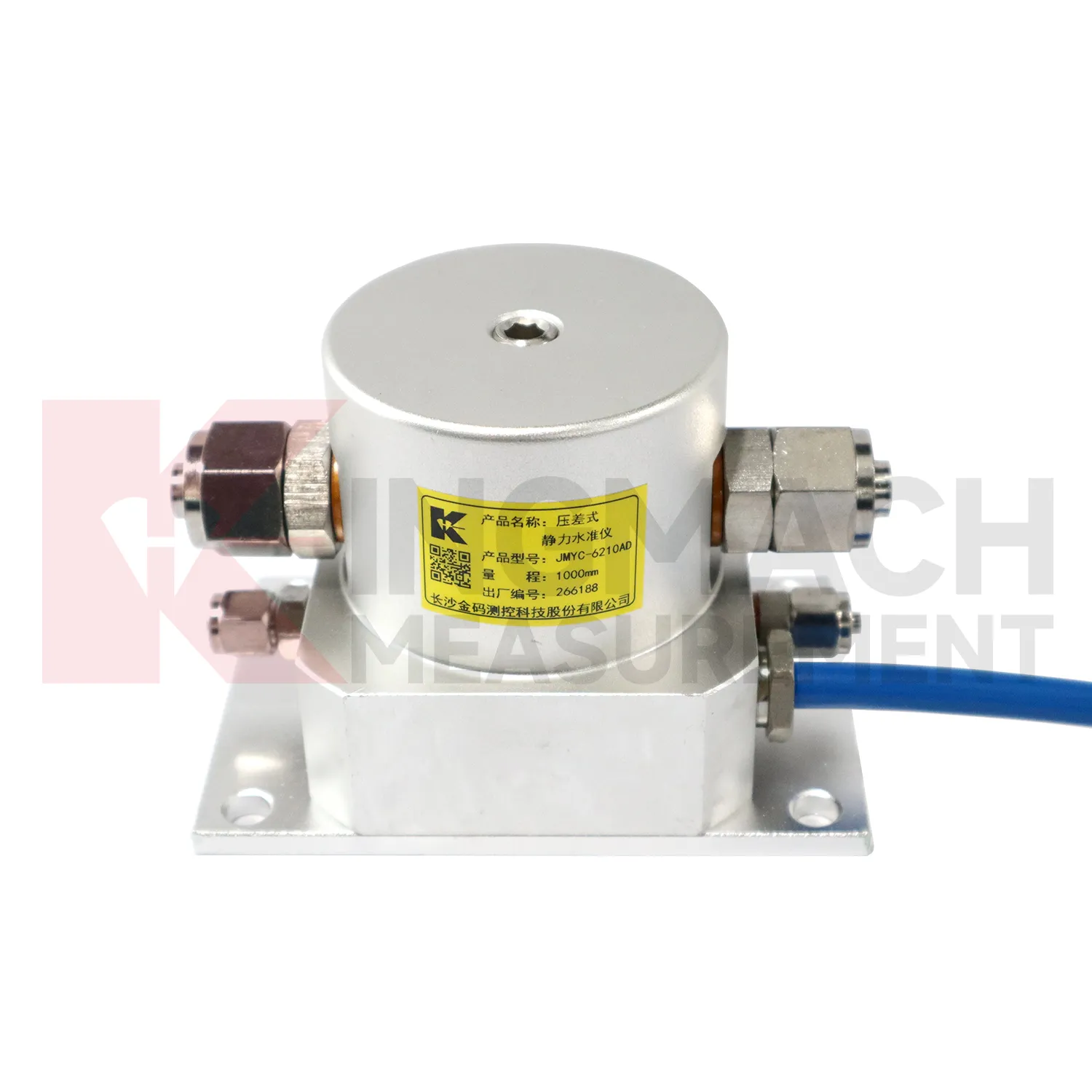
The future of hydrostatic level sensor
Data fusion will define the future role of hydrostatic level sensor in structural health monitoring. Settlement should be reviewed beside displacement, tilt, strain, load, pore pressure, rainfall, vibration, and water level data. For example, a subgrade settlement trend may be more meaningful when rainfall and traffic loading are visible. A foundation pit uplift reading may need groundwater and support force context. A bridge deflection reading may need temperature and bearing information. Kingmach settlement products can provide the vertical movement layer in this wider record. When different sensor types are reviewed together, warnings can be based on relationships rather than a single number. That helps engineers prioritize site checks and avoid overreacting to harmless movement or missing linked changes across several instruments. Future platforms should make these relationships easy to review without hiding the raw settlement readings.
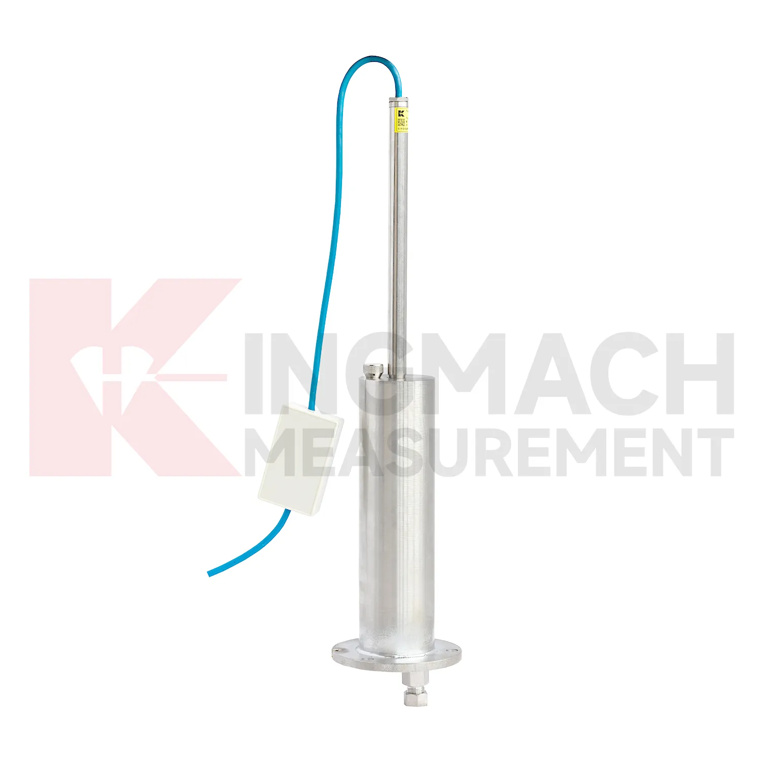
Care & Maintenance of hydrostatic level sensor
Baseline control for hydrostatic level sensor is a continuing maintenance task. A zero value should be recorded only after plates, rods, anchors, hydrostatic tubes, reference sensors, magnetic rings, probes, cabinets, and power supply are stable. If the baseline is taken during active compaction, dewatering, grouting, traffic vibration, or support adjustment, every later value may be difficult to explain. Kingmach products can support manual or remote readings, but both methods need a clear starting point. Keep the baseline date, weather, water level, construction stage, operator, and instrument status in the file. If a point must be reset, keep the old value, the new value, and the reason for the change. Do not erase earlier trend data to make a curve look tidy. Future reviewers need to know when the measuring system changed, otherwise normal maintenance can be mistaken for real ground movement.
Kingmach hydrostatic level sensor
hydrostatic level sensor are used when vertical movement must be measured before it becomes visible as cracks, uneven pavement, rail irregularity, or structural distress. Kingmach settlement products cover embedded single-point measurement, hydrostatic leveling, wide-range differential pressure monitoring, magnetic ring settlement and water level reading, and micro range deflection monitoring. On a roadbed, the reading may show whether filling and compaction are stabilizing. On a bridge, it may show deflection relative to a reference point. In a foundation pit, it may show base uplift after excavation or dewatering. The key is to treat settlement as a time-based record, not a one-time survey value. Each point should carry its model, range, reference point, baseline, installation depth, and acquisition channel so later engineers can understand what moved, when it moved, and why the value matters. During review, the team should compare the value with nearby points, construction timing, water condition, and inspection notes before deciding whether the movement is acceptable.
FAQ
Q: What is JMCJ-1003/1005 used for?
A: It is used to measure layered underground settlement and groundwater level in foundations, subgrades, foundation pits, embankments, and underground structures.
Q: How does magnetic ring settlement reading work?
A: Magnetic rings are placed underground; when the probe senses a ring, audible and visual alerts help the operator read depth from the steel tape at the borehole.
Q: How is water level detected?
A: The water level component works by water conductivity and alerts when the probe contacts water.
Q: What accuracy is listed?
A: The listed measurement accuracy is plus or minus 1 mm.
Q: What field records are needed?
A: Keep borehole number, magnetic ring depth, previous reading, current reading, groundwater level, and operator notes together.
Reviews
Joshua Clark
We ordered a full monitoring solution including sensors and data loggers. Everything works seamlessly together. Great supplier!
Ryan Lewis
Fast delivery and excellent product quality. The accelerometers and tiltmeters are highly reliable. Strongly recommend this company.
Latest Inquiries
To protect the privacy of our buyers, only public service email domains like Gmail, Yahoo, and MSN will be displayed. Additionally, only a limited portion of the inquiry content will be shown.
Emma***@gmail.comCanada
Dear Sir/Madam, we are interested in displacement transducers and settlement sensors for a geotechni...
Sophia***@gmail.comUnited Kingdom
Good day, we need environmental monitoring sensors including temperature, humidity, and wind sensors...